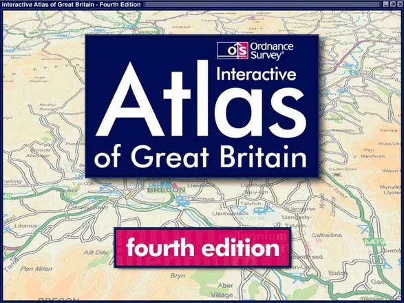
The Ordnance Survey Interactive Atlas of Great Britain: Fourth Edition (included game)
Description
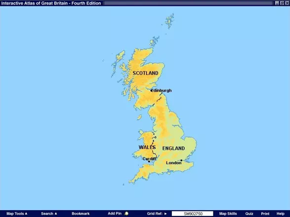
The Ordnance Survey Interactive Atlas of Great Britain: Fourth Edition is a factual title with many features including;* Scales ranging from 1:250 000 to 1:25 000
- Town and city centre plans
- A gazetteer with over fifty five thousand place names
- Personalised maps
- Tutorials
- Photographs of places and features
- and an interactive quiz
The interactive quiz is called the 'Round Britain Quiz'. It is a timed single player game in which the player is asked a series of questions about regions of the UK. The player must answer three questions correctly before they can leave the current region and progress to the next region, the challenge being to complete all regions within five minutes
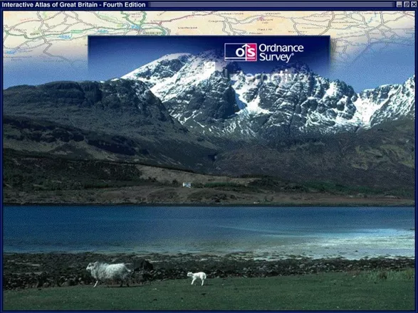
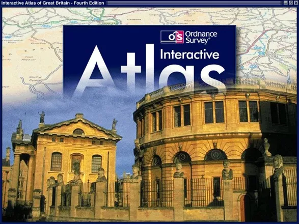
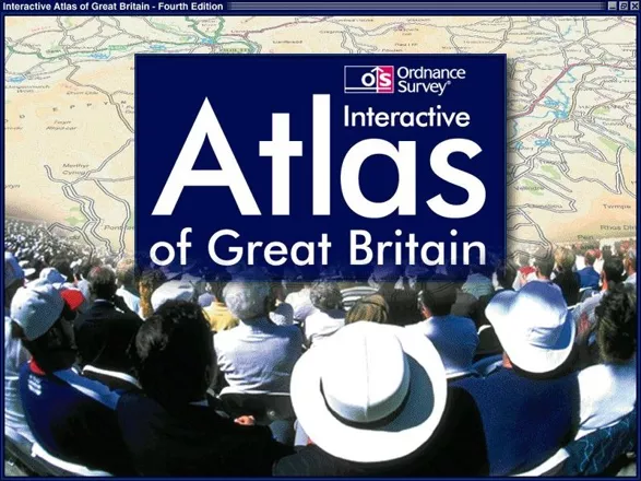
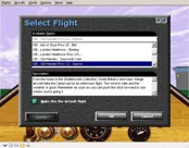
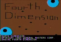
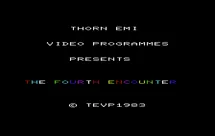
Screenshots
Credits (Windows version)
101 People · View all
| Product Development Director | |
| Design | |
| Software Engineering | |
| Reference & Leisure Products Manager | |
| Electronic Products Developer and Designer | |
| Graphic Image and Data Supply | |
| Photos and Videos Courtesy of |
|
| [ full credits ] | |
Analytics
Upgrade to MobyPro to view research rankings!
Related Games
Released 2001 on Windows

Released 2010 on Windows

Released 1982 on ZX Spectrum, BBC Micro, ZX81

Released 2006 on DVD Player
Released 2001 on Windows

Released 2018 on PlayStation 4, 2018 on Linux, 2020 on Nintendo Switch...
Released 1998 on DOS, Windows
Released 1983 on Apple II
Released 1983 on VIC-20
Identifiers +
Contribute
Are you familiar with this game? Help document and preserve this entry in video game history! If your contribution is approved, you will earn points and be credited as a contributor.
Contributors to this Entry
Game added by piltdown_man.
Game added February 16, 2018. Last modified March 9, 2023.